Construction Mapping Drones: Enhancing Project Accuracy and Efficiency
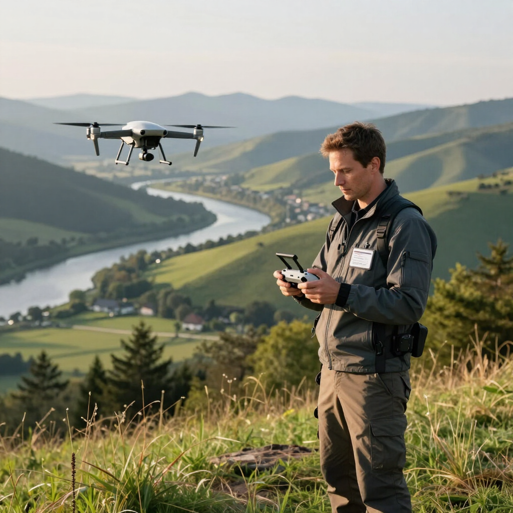
Drone technology transforms how you manage construction projects. Using construction mapping drones, you gain precise aerial data that improves planning, monitoring, and decision-making. This technology offers a faster, safer, and more cost-effective way to gather information compared to traditional methods.
Benefits of Construction Mapping Drones
Construction mapping drones provide several advantages that directly impact your project outcomes:
- Improved accuracy. Drones capture high-resolution images and generate detailed maps. This accuracy helps you identify site conditions and potential issues early.
- Time savings. Aerial surveys take hours or days less than manual surveys. You can quickly update maps as the project progresses.
- Cost efficiency. Reducing the need for ground crews and expensive equipment lowers overall costs.
- Safety. Drones access hard-to-reach or hazardous areas without putting personnel at risk.
- Comprehensive data. You receive orthomosaic maps, 3D models, and volumetric measurements that support better project management.
For example, when preparing a large site for excavation, drones provide precise topographic data. This data helps you calculate earthwork volumes accurately, avoiding costly errors.
How Construction Mapping Drones Work
Construction mapping drones use advanced sensors and cameras to capture aerial images. These images are processed using photogrammetry software to create detailed maps and 3D models.
The typical workflow includes:
- Flight planning. Define the area to be surveyed and set flight parameters.
- Data capture. The drone flies autonomously, capturing overlapping images.
- Data processing. Software stitches images together to create orthomosaic maps and 3D models.
- Analysis and reporting. You analyze the data to measure distances, volumes, and monitor progress.
This process allows you to monitor site changes over time. You can compare maps from different dates to track excavation progress or detect deviations from plans.
What Is the Best Drone Mapping Software?
Choosing the right software is critical for maximizing the value of your drone data. The best drone mapping software should offer:
- Ease of use. Intuitive interfaces reduce training time.
- Accurate processing. High-quality photogrammetry algorithms ensure precise maps.
- Versatile outputs. Support for orthomosaics, 3D models, and volumetric calculations.
- Integration. Compatibility with CAD and GIS software for seamless workflows.
- Cloud or desktop options. Depending on your data security and processing speed needs.
Popular software options include those that provide automated flight planning, real-time data previews, and robust analytics tools. Evaluate software based on your project size, complexity, and budget.
Practical Applications of Drone Mapping in Construction
You can apply drone mapping in various construction phases to improve efficiency and reduce risks:
- Site surveying and planning. Quickly generate accurate topographic maps to inform design decisions.
- Progress monitoring. Regular drone flights document construction stages, helping you stay on schedule.
- Volume measurement. Calculate stockpile volumes or earthmoving quantities with precision.
- Inspection and quality control. Inspect structures, roofs, and hard-to-reach areas without scaffolding.
- Environmental compliance. Monitor erosion, vegetation, and site boundaries to meet regulations.
For instance, during road construction, drones help you verify that grading matches design specifications. This reduces rework and ensures quality.
Implementing Drone Mapping for Construction Projects
To successfully integrate drone mapping into your projects, follow these steps:
- Define objectives. Identify what data you need and how it will support your project goals.
- Select equipment. Choose drones with appropriate sensors and flight capabilities.
- Train operators. Ensure pilots are certified and understand safety protocols.
- Plan flights. Schedule flights considering weather and site activity.
- Process data. Use reliable software to generate actionable maps and models.
- Analyze results. Share insights with your team to guide decisions.
- Maintain compliance. Follow local regulations for drone operations and data privacy.
Partnering with a trusted drone service provider can simplify this process. They bring expertise, equipment, and software to deliver accurate data and stunning visuals that help your projects succeed.
Future Trends in Construction Mapping Drones
The use of construction mapping drones continues to evolve. Emerging trends include:
- AI and machine learning. Automated analysis of drone data to detect defects or predict delays.
- Real-time data streaming. Live feeds from drones for immediate site assessment.
- Integration with BIM. Combining drone data with Building Information Modeling for enhanced project coordination.
- Improved battery life. Longer flight times increase coverage and reduce downtime.
- Swarm technology. Multiple drones working together to survey large sites faster.
Staying informed about these advancements ensures you leverage the latest tools to maintain a competitive edge.
Maximizing Your Investment in Drone Mapping
To get the most from drone mapping, focus on:
- Consistent data collection. Schedule regular flights to track progress and changes.
- Clear communication. Share maps and models with all stakeholders for transparency.
- Data security. Protect sensitive project information with secure storage and access controls.
- Continuous training. Keep your team updated on best practices and new technologies.
By adopting these practices, you enhance project accuracy, reduce risks, and improve overall efficiency.
For businesses seeking reliable aerial imaging, drone mapping for construction offers a proven solution. It delivers precise data and visuals that support informed decisions and successful project outcomes. Embrace this technology to transform how you manage construction projects.