Equipment
A DJI Matrice 4 Enterprise, and why the specs matter.
Good data is not a happy accident. It comes from a sensor big enough, a shutter fast enough, and positioning tight enough to hold the whole thing together.
Full specification
The figures, from DJI’s published data.
| Wide camera | 4/3" CMOS, 20 MP, 24 mm equivalent, f/2.8-f/11 |
|---|---|
| Tele cameras | 48 MP 3x medium tele and 48 MP 7x tele |
| Shutter | Mechanical, 2s to 1/2000s - no rolling-shutter smear |
| RTK accuracy | 1 cm + 1 ppm horizontal, 1.5 cm + 1 ppm vertical |
| Endurance | Up to 49 minutes on a charge |
| Wind limit | 12 m/s, about 27 mph |
| Obstacle sensing | Binocular vision plus infrared, all directions |
| Mission size | Up to 65,535 waypoints with terrain follow |
Figures as published by the manufacturer for the Matrice 4 Enterprise. Real-world results on your job depend on flight planning, ground control and site conditions — see the note below.
Three specs that actually change your data
The rest is nice. These three are the job.
The mechanical shutter
Most drones use a rolling shutter, which reads the sensor line by line. Any movement during that read skews the frame — and the aircraft is always moving.
That skew does not stay in the photo. It propagates into the point cloud as real geometric error. A mechanical shutter exposes the whole frame at once and the problem disappears.
The four-thirds sensor
A bigger sensor gathers more light per pixel, which means cleaner frames in the early morning and late afternoon when the light is good and the shadows are long.
Cleaner frames give the processing software more real features to match on, and feature matching is what the entire model is built from.
Onboard RTK
RTK corrects the aircraft’s position in real time to centimetre level rather than the several metres a plain GPS fix gives you.
It means the map lands in the right place in the real world, and that two flights a month apart line up with each other instead of floating.
What it produces
Same aircraft, four different outputs.
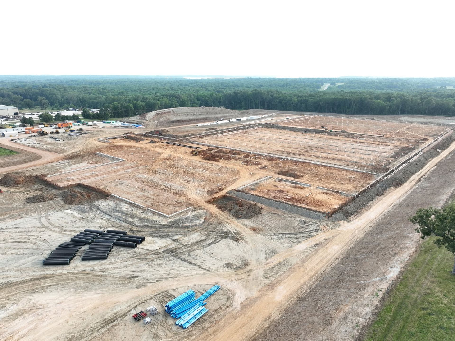
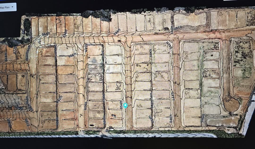
The wide camera flies the grid and builds the orthomosaic, the point cloud and the surface model — everything measurable.
The two tele cameras, at 48 MP, do the close work: roof detail, structural condition, anything that needs to be seen clearly from a distance where the aircraft is not a hazard.
And the same platform shoots the video. There is no separate “photography drone” — the imaging is good enough that the marketing work and the survey work come off one aircraft.
A note on the photographs on this page. The aerial imagery across this website was all flown by SkyMap. We have deliberately not used the manufacturer’s product photography of the aircraft itself — those images are DJI’s copyright and their terms do not permit commercial reuse. Photographs of our own aircraft will go here.
The kit is only half of it
The other half is knowing what to do with it.
Gary spent years on construction sites before he flew any of this. That is what turns a good sensor into a useful answer.