Service · Aerial jobsite mapping
Aerial jobsite mapping in Northeast Texas.
One current, measurable image of your entire site — stitched from hundreds of overlapping frames and georeferenced so you can measure straight off it.
What it is
A map, not a photograph.
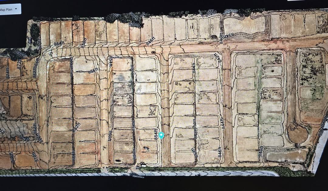
A photo from the corner of the lot tells you what that corner looked like. An orthomosaic is different: hundreds of frames flown on a grid, corrected for lens distortion and terrain, and stitched into one image where every pixel sits at its true position.
That correction is the whole point. On a normal aerial photo, things lean away from the centre and distances are wrong. On an orthomosaic they are not, so you can measure a distance, an area or a stockpile footprint directly off the image and trust the number.
- Every pixel georeferenced, so the map drops straight into your existing site plan or GIS.
- Ground sample distance fine enough to pick out individual forms, rebar mats and stake lines.
- Flown with RTK positioning rather than scaled off a landmark afterwards.
- Delivered in formats your team already opens — GeoTIFF, PDF, or a web link you can send to anyone.
What people use it for
Four jobs it does immediately.
Planning and logistics
Lay-down areas, haul routes, trailer placement and crane position, worked out on a current map instead of a memory of last week.
Coordination
One image everyone is looking at. Ends a surprising number of arguments between trades about what is actually on the ground.
Quantities
Measure paved area, cleared acreage, stockpile footprints and disturbed area without walking it with a wheel.
The record
A dated, measurable picture of the site. Worth a great deal the day somebody disputes what was there in March.
How it is flown
The boring part done properly.
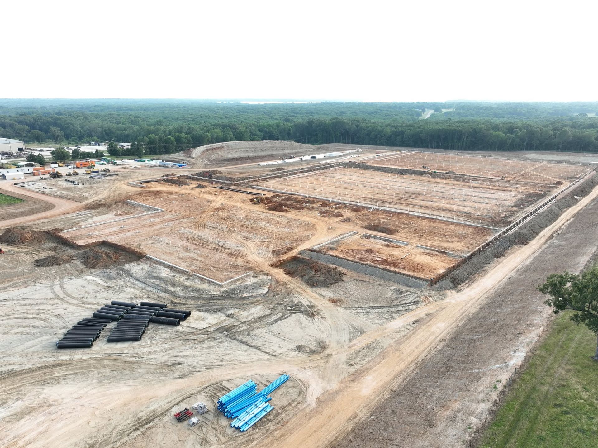
The aircraft flies a grid — parallel passes with heavy overlap front and side, so every point on the ground appears in a lot of frames from a lot of angles. That redundancy is what makes the stitch hold together and the geometry stay honest.
Height is set by the ground sample distance the job needs, not by how fast we want to be finished. Lower means sharper and slower; we pick the height the deliverable actually requires and tell you what it was.
On sites that need verifiable accuracy we set ground control targets and check the result against them.
Questions
Asked most often about mapping.
How big a site can you map in one flight?
With 49 minutes of endurance, a great deal — a typical commercial pad or a few dozen acres goes in a single flight. Larger sites just take more batteries, and that is planned into the quote rather than billed as a surprise.
How current is the map?
As of the hour we flew it. That is the point. A map from the design phase is a historical document once the dozers arrive.
Can I measure off it myself?
Yes. That is what georeferencing is for. We can also deliver it into a viewer where your whole team can measure without buying software.
Do you fly if it is windy?
Up to about 27 mph the aircraft is rated to handle it. Whether we fly is a judgement about data quality, not just whether it stays in the air — a rough day makes a rough map, and we would rather move the date.
Talk it through
Tell us the site and we will tell you the number.
Most jobs get a straight answer the same day. Call (903) 380-2389 or send the details and we will come back with a price and a date.