Service · Cut and fill analysis
Cut and fill analysis that settles the argument.
Volumes measured off the ground as it actually sits — against your design, or against last month. Cut, fill, net, and a map of exactly where it is.
The problem
Dirt is the easiest money to lose.
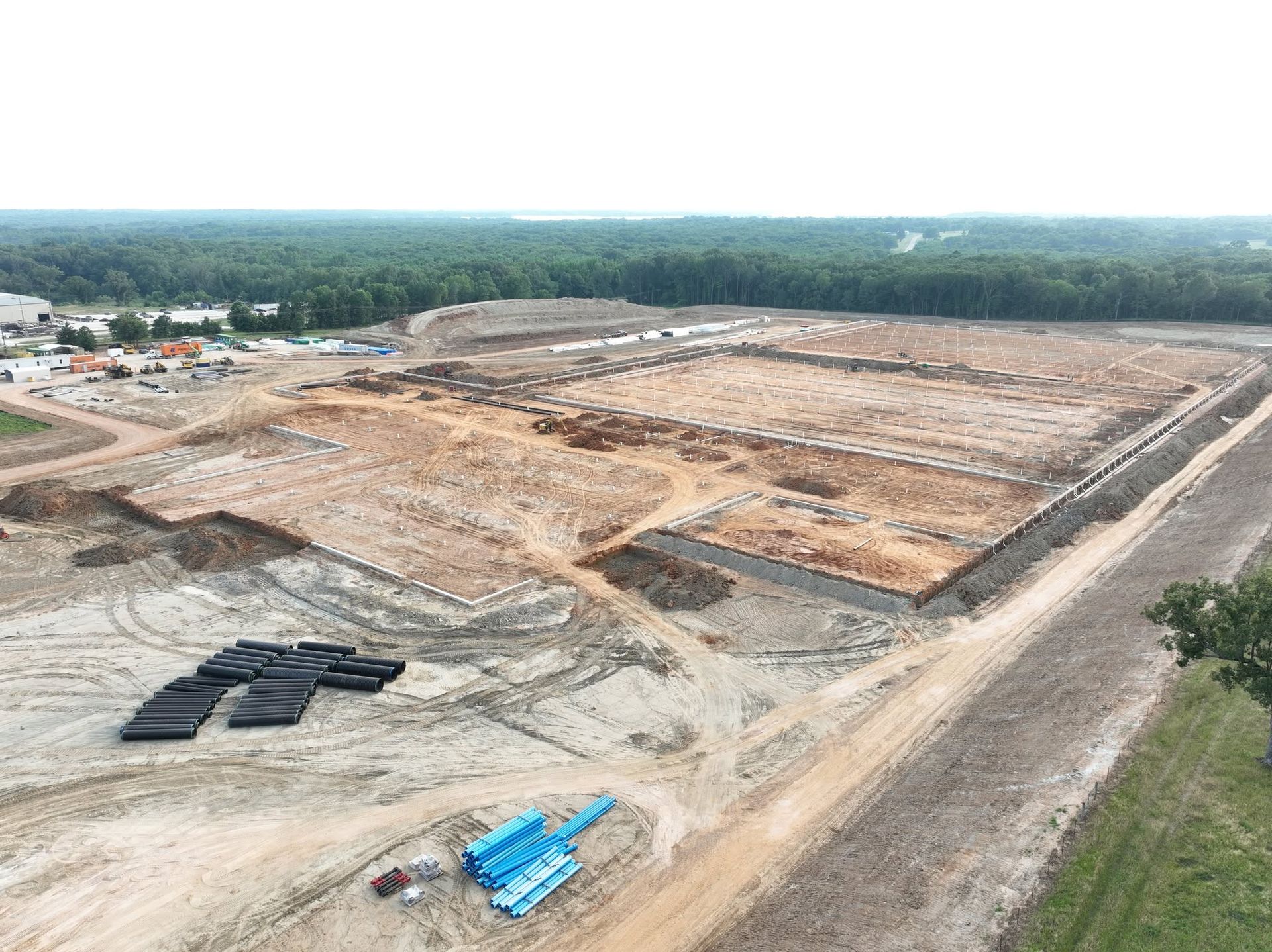
Earthwork is usually the largest single variable on a site package, and it is measured in quantities nobody can see. A balance that is off by a few thousand yards is invisible right up until the haul invoices arrive.
The traditional answer is a crew with a rod walking a grid of shots. That works, and on a small pad it is fine. On forty acres it is slow, expensive, and the grid is coarse enough that everything between the shots is an assumption.
A drone measures millions of points instead of hundreds, in one flight, and the parts between the shots are not assumed — they are measured too.
How it works
Two surfaces, one subtraction.
Fly the site
A grid mission with RTK positioning captures the ground as it is on the day. Typically under an hour on a normal pad.
Build the existing surface
The frames are processed into a dense point cloud and then a digital surface model — a measured height for every cell across the whole site.
Bring in the comparison surface
Either your design surface from the civil drawings, or the surface from a previous flight if you are tracking month to month.
Subtract and report
Where existing sits above the comparison you have cut. Below it, fill. The software integrates the difference across the area and returns the volumes, plus a heat map showing depth everywhere.
What comes back
A number, and the picture behind it.
The volumes
Total cut, total fill, and net, in cubic yards. Broken out by phase or by area if the job is split that way.
The heat map
A coloured surface over your site plan — warm where material has to come out, cool where it goes in, neutral where you are on grade.
Stockpile volumes
Individual piles measured and reported, so what is sitting on site is a number rather than an estimate from the cab of a truck.
The surfaces themselves
The point cloud and surface model, so your engineer can run their own numbers rather than take ours on faith.
When to use it
Four moments where it pays for itself.
- Before you bid. Check the earthwork quantities in the bid documents against what the ground actually says. This one has saved people a great deal of money.
- At mobilization. Establish the true existing surface on day one, so every later measurement has an honest starting point.
- Monthly, during mass grading. Track how much has genuinely moved. Pay applications get easier when the quantity is measured rather than negotiated.
- At closeout. Prove the site was built to the surface it was supposed to be built to.
A volume is only as honest as the two surfaces behind it. We will tell you what the existing surface was flown at, what ground control was used, and where vegetation or standing water made a region less reliable. A number handed over without that context is not worth much, and we would rather you could check our work.
Talk it through
Tell us the site and we will tell you the number.
Most jobs get a straight answer the same day. Call (903) 380-2389 or send the details and we will come back with a price and a date.