33.1568°N 94.9683°W · Mount Pleasant, TX
Precision From Above. Progress On The Ground.
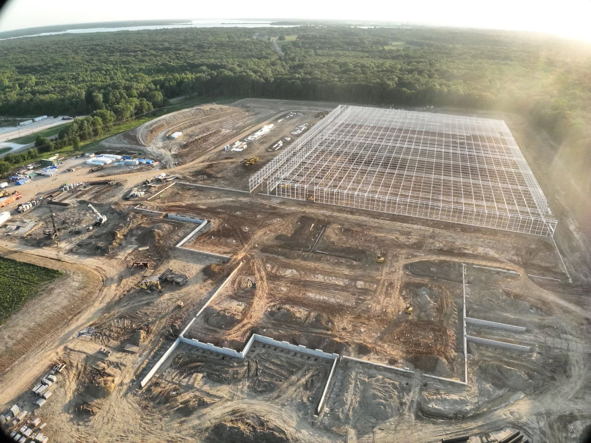
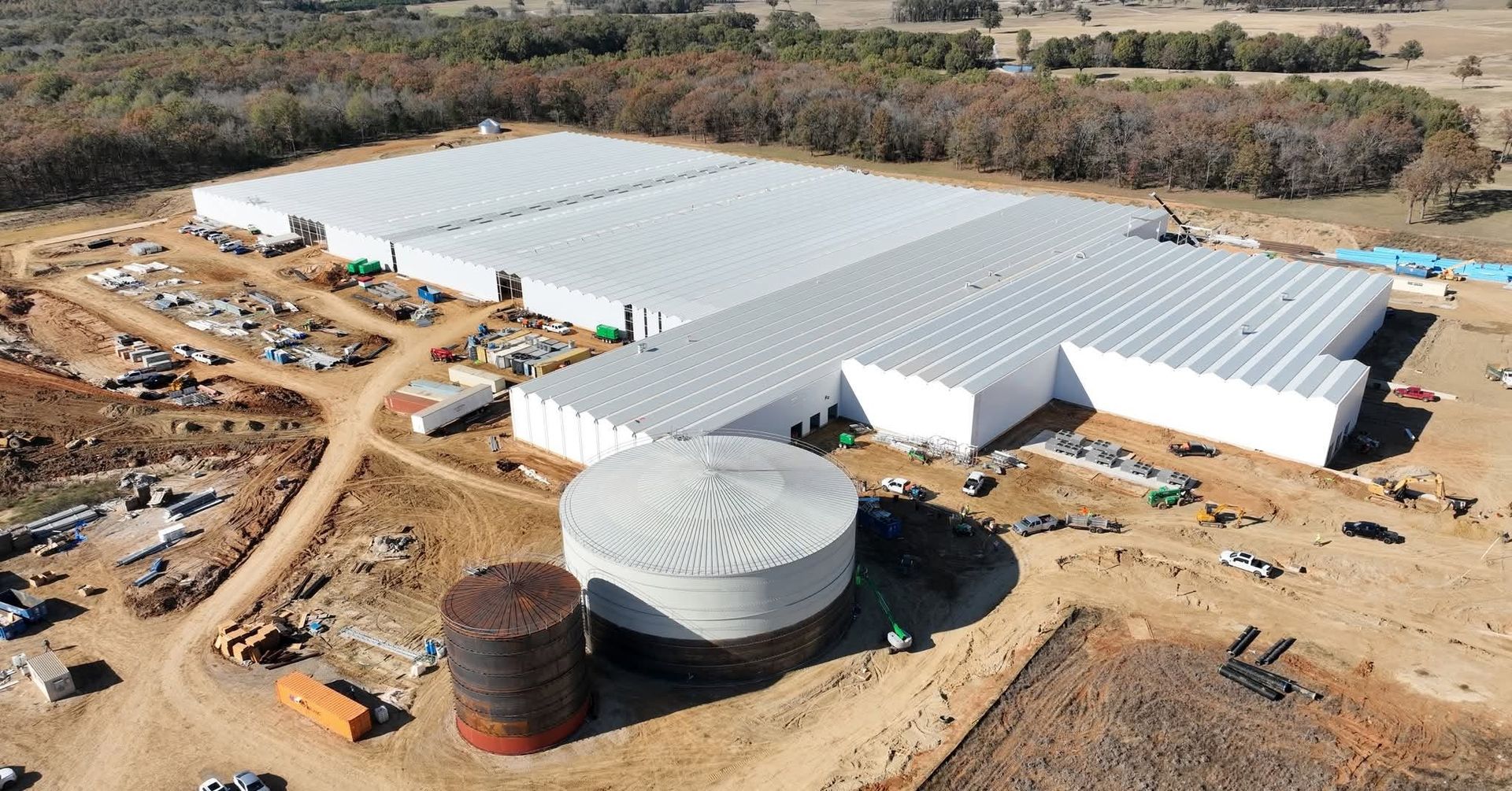
Commercial drone mapping, surveying and progress reporting for construction across Northeast Texas. Flown by a Marine veteran who spent years on jobsites before he ever picked up a controller.
What we fly
Seven things we do, and we do all of them well.
Construction is the core of the work — mapping, modeling and earthwork volumes. But the aircraft does not care what is underneath it, so realtors, landowners, event organizers and anyone who needs a look from above are all welcome.
Aerial jobsite mapping
A current, measurable orthomosaic of the whole site — not a snapshot from the corner of the lot. Measure distances and areas straight off the map.
Mapping3D mapping & modeling
Point clouds, meshes and digital surface models you can rotate, section and measure. The site as it actually is, not as the plan said it would be.
3D modelsCut & fill analysis
Volumes between your design surface and the ground as flown. Know what moved, what is left, and whether the haul tickets add up.
EarthworkConstruction progress reporting
The same flight path on a schedule, so month three lines up perfectly with month one. Owners, lenders and inspectors all get the same picture.
ProgressAsset & roof inspections
48 MP tele cameras from a safe standoff. Roofs, structures, towers and storm damage documented without putting anybody on a ladder.
InspectionsDrone surveying
RTK-positioned capture across corridors, parcels and pads, processed into the surfaces and contours your engineer asked for.
SurveyingVideo & photography
Aerial video and stills, edited and delivered ready to post. Listings, facilities, events and anything else worth seeing from the air.
Video & photoNot sure which one?
Most people call and describe the problem instead of picking a service off a list. Do that — we will tell you what actually answers it, including when the answer is that you do not need a drone.
Ask usWhy it matters
Earthwork is where money disappears quietly.
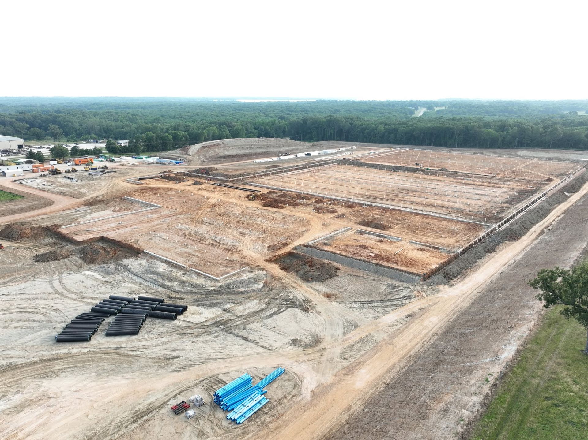
A grading job can be forty thousand yards out of balance before anybody notices, and by then the trucks have already run.
Flying the site puts a number on it. We build a surface from the ground as it sits today, compare it against your design or your last flight, and hand back the volume — cut, fill, and net — with a heat map showing exactly where it is.
Pay for a flight, or pay for the haul you did not need. That is the whole argument.
Who flies it
Gary Capron. Marine, then construction, then this.
SkyMap is owned and flown by Gary Capron, a United States Marine Corps veteran with a long background in construction.
That order matters. Plenty of people can fly a drone. Fewer know what a superintendent actually needs on a Monday morning, what a pay application has to prove, or why the difference between a pretty photo and a measurable one is the whole job.
You get the owner on the phone, on the site, and behind the controller. Not a dispatcher.
The aircraft
A DJI Matrice 4 Enterprise, and why that matters.
Not a hobby drone with a good camera. The M4E is built for geospatial work, and three of its specs are the reason your data holds up.
The mechanical shutter is the one nobody talks about. A rolling shutter smears every frame the moment the aircraft is moving, and that smear lands in your point cloud as error. A mechanical shutter freezes the frame. It is the difference between a map that measures and a map that looks nice.
How a job runs
Four steps, no mystery.
You tell us the site
Address or a pin, roughly how big, and what you need out of it. A phone call usually covers it.
We quote it and book a window
A flat number for the flight and the deliverables, and a date. Weather moves dates — we will tell you early, not the morning of.
We fly it
Usually under an hour on site for a typical pad or parcel. We work around your crews rather than shutting anything down.
You get the data
Orthomosaic, model, volumes, report, video — whatever the job called for, in formats your team already uses.
One honest note about the word “surveying.” SkyMap captures and processes aerial survey data — orthomosaics, point clouds, surfaces and volumes. We are not a licensed land surveying firm, and we do not set boundaries or seal plats. Where a job needs a legal boundary or a sealed document, we work alongside your licensed surveyor and hand them data they can work from. Plenty of our clients use us for exactly that.
Where we fly
Based in Mount Pleasant. Working across Northeast Texas.
Not on the list? Ask anyway — we travel for the right job.
Common questions
Things people ask before the first flight.
How much does a drone mapping flight cost?
It depends on acreage, what you need out of it, and how far we drive. A single pad map is a different job from a monthly progress program on a 60-acre site. Tell us the site and we will give you a flat number rather than an hourly rate that grows.
How accurate is the data?
The aircraft’s RTK positioning is rated at 1 cm + 1 ppm horizontal and 1.5 cm + 1 ppm vertical. Real-world accuracy on your deliverable also depends on ground control, flight height and the site itself. If a job needs checked, verifiable accuracy we will set ground control targets and tell you what we achieved rather than what the brochure says.
Do you need to shut the site down?
No. We fly around working crews all the time. We will talk through crane radius, blasting windows and anything else that matters before we show up.
How soon can you get out here?
Often within a few days, weather permitting. Call and ask — sometimes the answer is tomorrow.
Can you do this for a house or a piece of land, not a jobsite?
Yes. Realtors, landowners, farms, events, churches, car lots. If it is worth seeing from above we will fly it.
What do we actually receive?
Whatever the job called for: a georeferenced orthomosaic, a 3D model or point cloud, contours, a cut and fill report, inspection stills, or edited video. We deliver in the formats your team already opens.
Next step
Send us the site. We will send you a number.
A short conversation and a pin on a map is genuinely all we need to quote most jobs.