Service · Drone surveying
Aerial survey data for engineers, contractors and owners.
RTK-positioned capture across corridors, parcels and pads, processed into the surfaces, contours and deliverables your engineer actually asked for.
Read this first
What we are, and what we are not.
One honest note about the word “surveying.” SkyMap captures and processes aerial survey data — orthomosaics, point clouds, surfaces and volumes. We are not a licensed land surveying firm, and we do not set boundaries or seal plats. Where a job needs a legal boundary or a sealed document, we work alongside your licensed surveyor and hand them data they can work from. Plenty of our clients use us for exactly that.
With that said — a very large amount of what gets called survey work is data capture, and that is exactly what a drone is good at. Topographic surfaces, existing conditions, corridor mapping, quantities, planning data. Fast, dense, and repeatable.
What we capture well
Four shapes of job.
Corridors
Roads, right of way, pipelines and utility runs. Long thin sites are miserable to walk and quick to fly.
Parcels and pads
Existing conditions across a tract before design, or a finished pad checked against what it was supposed to be.
Topographic surfaces
Dense elevation data across the whole site, turned into contours at whatever interval your engineer wants.
Quantities
Stockpiles, borrow pits, disturbed area and earthwork volumes. More on volumes here.
About accuracy
The honest version.
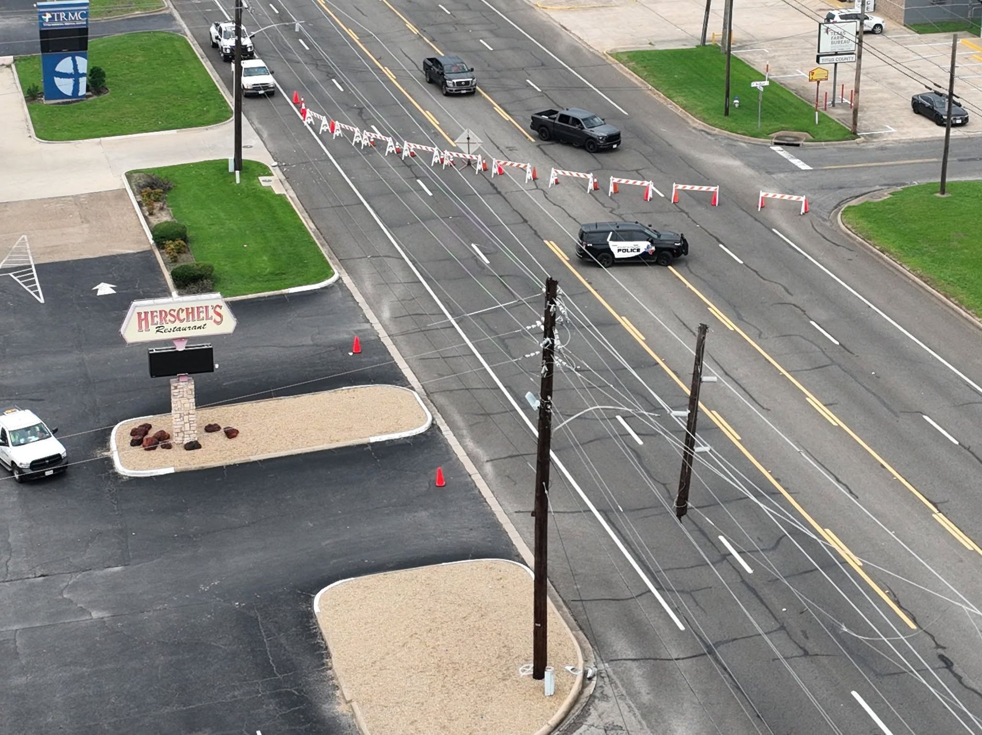
Manufacturer accuracy figures describe the aircraft, not your deliverable.
The M4E’s RTK positioning is rated at 1 cm + 1 ppm horizontal and 1.5 cm + 1 ppm vertical. That is real, and it is a much better starting point than a drone without RTK. But the accuracy of the surface you receive also depends on flight height, overlap, ground control, and what the site is made of — thick vegetation, standing water and featureless new asphalt are all harder than bare graded dirt.
So when a job needs verifiable accuracy, we set ground control targets, check the processed result against them, and report what we actually achieved. If a region came out weaker, we say so and mark it.
Talk it through
Tell us the site and we will tell you the number.
Most jobs get a straight answer the same day. Call (903) 380-2389 or send the details and we will come back with a price and a date.