
Explore the Best Drone Services Nearby
- skymapdrones
- Nov 19, 2025
- 4 min read
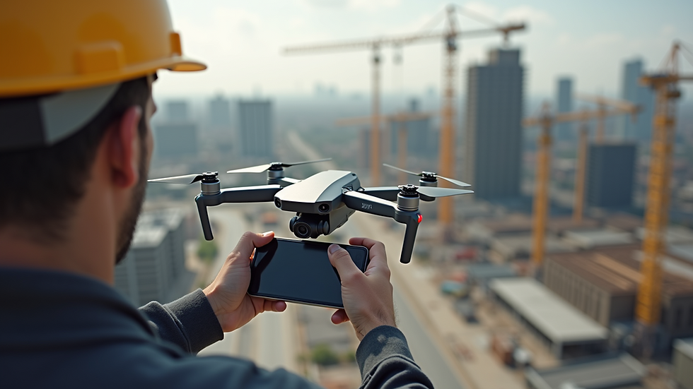
When you need precise and high-quality aerial imaging, local aerial photography services provide the solution. These services use advanced drone technology to capture detailed images and data from above. This technology is essential for construction companies, developers, and businesses that require accurate visuals to monitor progress, plan projects, and showcase results.
Drones offer a cost-effective and efficient way to gather information. They reduce the need for manual inspections and provide perspectives that traditional methods cannot match. By choosing the right local aerial photography services, you gain access to reliable data and stunning visuals that support your business goals.
Why Choose Local Aerial Photography Services?
Local aerial photography services bring several advantages to your projects. First, they understand the specific needs of your area. This knowledge helps them navigate local regulations and weather conditions effectively. They also respond quickly to your requests, ensuring timely delivery of images and data.
Working with local providers means you get personalized service. They can tailor their offerings to fit your project requirements. Whether you need regular site monitoring or a one-time survey, local experts can accommodate your schedule and budget.
Additionally, local aerial photography services often have established relationships with local authorities. This connection simplifies the permitting process and ensures compliance with safety standards. You avoid delays and legal issues that could impact your project timeline.

Key Services Offered by Local Aerial Photography Providers
Local aerial photography services cover a wide range of applications. Here are some of the most common services you can expect:
Site Surveys and Mapping: Drones create detailed maps and 3D models of construction sites. These maps help in planning and tracking progress.
Progress Monitoring: Regular aerial photos document the development stages. This visual record supports project management and reporting.
Inspection and Safety Checks: Drones inspect hard-to-reach areas such as rooftops, towers, and bridges. They identify potential issues without risking personnel safety.
Marketing and Promotion: High-resolution images and videos showcase your projects to clients and stakeholders. These visuals enhance presentations and marketing materials.
Environmental Monitoring: Drones assess environmental impact and compliance. They monitor vegetation, water bodies, and soil conditions around the site.
Each service is designed to provide accurate and actionable information. This data helps you make informed decisions and improve project outcomes.
How to Find Reliable Drone Services Near Me
Finding trustworthy drone services near you is crucial. Start by searching for providers with proven experience in your industry. Look for companies that specialize in construction and development projects. Check their portfolios to see examples of their work.
Ask about their equipment and technology. The best providers use the latest drones equipped with high-resolution cameras and advanced sensors. This technology ensures the quality and accuracy of the data collected.
Verify their certifications and licenses. Professional drone operators must comply with local aviation regulations. Confirm that the company holds the necessary permits and insurance.
Customer reviews and testimonials offer valuable insights. Positive feedback from other businesses indicates reliability and professionalism.
For convenience, consider exploring drone services near me. This platform connects you with local experts who meet these criteria and deliver excellent results.
Benefits of Using Local Aerial Photography Services for Construction and Development
Using local aerial photography services brings multiple benefits to your projects. These advantages improve efficiency, safety, and communication.
Improved Accuracy: Drones capture precise measurements and images. This accuracy reduces errors in planning and execution.
Time Savings: Aerial surveys are faster than traditional methods. You get up-to-date information quickly, keeping your project on schedule.
Cost Efficiency: Drones lower the cost of inspections and surveys. They reduce the need for expensive equipment and labor.
Enhanced Safety: Drones access dangerous or difficult areas without putting workers at risk. This approach minimizes accidents and injuries.
Better Communication: Visual data helps you communicate progress and issues clearly to stakeholders. It supports transparency and trust.
These benefits contribute to smoother project management and better results. They also help you meet deadlines and stay within budget.
How Skymap Drone Services Supports Your Business Success
Skymap Drone Services aims to be your trusted partner for all aerial imaging needs. They focus on delivering accurate data and stunning visuals that help you succeed.
Their team uses state-of-the-art drones and software to provide detailed site surveys, inspections, and progress reports. They understand the demands of construction and development projects and tailor their services accordingly.
Skymap Drone Services prioritizes safety and compliance. They hold all necessary certifications and follow strict operational guidelines. This commitment ensures reliable and legal drone operations.
By choosing Skymap, you gain a partner who values long-term relationships. They work closely with you to understand your goals and deliver solutions that add value to your projects.
Explore their offerings and find the best fit for your needs by visiting drone services near me.
Maximizing the Value of Aerial Imaging in Your Projects
To get the most from local aerial photography services, plan your drone usage carefully. Define your objectives clearly before scheduling flights. Decide what data you need and how often you require updates.
Coordinate with your drone service provider to align flight schedules with project milestones. Regular aerial surveys provide continuous insight into progress and potential issues.
Use the data collected to enhance decision-making. Integrate aerial images and maps into your project management tools. Share visuals with your team and stakeholders to improve collaboration.
Invest in training for your staff to interpret drone data effectively. Understanding the information helps you leverage it for better planning and problem-solving.
By following these steps, you ensure that aerial imaging becomes a valuable asset in your project workflow.
Local aerial photography services offer powerful tools for construction companies, developers, and businesses. They provide accurate, timely, and cost-effective data that supports project success. Partnering with a reliable provider like Skymap Drone Services ensures you receive high-quality results tailored to your needs. Take advantage of these services to enhance your project management and achieve your business goals.


Comments